Most people picture wildfire season in the Catalinas as hot, dry, and early in the year, sometime in April or May before the summer storms roll in to settle the dust. That is when the news usually warns about red flag conditions. It is not when the trail behind Alvernon Way actually caught fire this year.
The Finger Ridge Fire started at 10:33 p.m. on Friday, August 7, well into monsoon season, and it started because of the storm, not in spite of it. A bolt of lightning found the ridge above Finger Rock Canyon, and, as KGUN reported, by the next morning the U.S. Forest Service had confirmed a 20-acre fire burning on land most residents of the Catalina Foothills can see from their own driveways.
What Actually Closed the Trail
By Saturday evening the fire had grown to 67 acres with zero percent containment, according to the Santa Catalina Ranger District. Crews used Finger Rock Trail itself as an access route to build containment lines, which meant the trailhead at the north end of Alvernon Way closed to hikers even though officials never called for an evacuation and never listed a structure at risk. Overnight the fire stalled inside its own footprint. By Sunday afternoon the Coronado National Forest reported 50 percent containment at 67 acres, with rain expected to finish off the remaining hot spots. The trail reopened to the public by Monday, August 10, three days after the first lightning strike, according to local coverage from KOLD.
That is a short closure by Catalina wildfire standards, and it followed a pattern familiar to anyone who has watched a Tucson monsoon build over the mountains. The same storm cell that ignites a fire on a dry ridge usually drops enough rain within a day or two to help put it out. Forest officials leaned on that expectation directly, telling reporters after the fire reached 50 percent containment that forecasted rain was likely to extinguish the leftover hot spots.
The Same Weekend, a Different Kind of Trouble
The fire was not the only reason Finger Rock Trail made the news that weekend. Saturday's heat pushed Tucson to 105 degrees, and the Southern Arizona Rescue Association responded to calls on Finger Rock Trail itself, along with Sabino Canyon and Tanque Verde Falls. Officials asked hikers to avoid the trails during the hottest parts of the day, since a heat rescue pulls the same crews and helicopters a wildfire needs.
For one weekend, the trail most Foothills residents treat as a reliable morning workout was working against them from two directions at once: closed at one end by fire crews, dangerous at the other end from heat exhaustion. Neither risk shows up in April, when most people expect trouble on a desert trail.
Monsoon Lightning Started This Fire, and It Was Not the Only One
The Finger Ridge Fire was one entry in a longer list this season. In mid-June, a lightning strike on Sunday, June 14, sparked the Table Mountain Fire near Pima Canyon and Rose Canyon Lake, which grew past 100 acres before crews reached 80 percent containment five days later. That same weekend, a separate lightning strike started the Ventana Fire near Mount Kimball, though rain put it out at about three acres with no closures at all. Coronado National Forest officials told AZPM that by mid-June the region had already logged 18 fires that season, and pointed to the timing directly: that same week marked the start of Southern Arizona's monsoon, which brings humidity that slows fire growth but also delivers the lightning that starts the fires in the first place.
That is the part of the calendar most people miss. The driest, most flammable weeks in the Catalinas usually pass without a single reported ignition, because there is no lightning to strike anything. The fires arrive once the clouds build, which is also when the rain that eventually saves the mountain shows up. A Foothills resident who assumes the trail gets safer once the monsoon starts is thinking about the wrong hazard. Flash flooding is a real monsoon risk on desert trails. Wildfire ignition is too, and it runs on the opposite logic from what most people expect walking into July.
Two Closures, Two Different Clocks
Finger Rock Trail already carries a second, entirely separate reason to check before you drive up. Because the canyon is home to the Catalinas' bighorn sheep population, the trail sits inside the Bighorn Sheep Management Area of the Pusch Ridge Wilderness, and hikers are restricted to within 400 feet of the marked trail for roughly four months each year, protecting lambing season. That closure has nothing to do with weather. It shows up on roughly the same weeks every year, whether or not a single cloud crosses the mountain.
| Bighorn lambing restriction | Lightning fire closure | |
|---|---|---|
| Trigger | Calendar date, protecting bighorn sheep | Lightning strike during monsoon storms |
| Timing | Roughly January through April, every year | Unpredictable, tied to storm activity |
| What closes | Off-trail travel beyond 400 feet | The entire trailhead, used as firefighter access |
| How you find out | Fixed dates, posted well in advance | Real-time updates from Coronado National Forest |
| Duration | About four months annually | Days, based on containment progress |
The practical upshot is that Finger Rock does not really have an off season. Winter visitors lose the option to scramble toward the summit or the saddle. Summer visitors risk losing the whole trail for a few days if a storm finds the wrong ridge. Neither closure is something a hiker can talk their way around, and neither shows up in the same place, which is exactly why the fire in August caught people off guard who had only ever planned around the January restriction.
What a Normal Week at the Trailhead Actually Looks Like
Under ordinary conditions, the Richard McKee Finger Rock Trailhead at the north end of Alvernon Way holds about 35 vehicles, and it fills quickly on weekends and holidays. There is no day-use fee, potable water is available at the trailhead, and dogs are not permitted anywhere on the trail. The same lot serves as the starting point for Pontatoc Ridge and Pontatoc Canyon, so a full parking lot on a Saturday morning does not necessarily mean everyone is headed for Finger Rock itself.
The trail's layout gives hikers a genuine range of options. A short out-and-back reaches Finger Rock Spring in about a mile. A longer loop connects with Pontatoc Ridge at Linda Vista Saddle for roughly seven miles round trip, according to the Coronado National Forest's trail description. Beyond that, the route continues toward Mount Kimball, more than four and a half miles of steep climbing from the trailhead before it links into the higher country above the canyon. Whichever version a hiker chooses, checking current conditions before driving up costs less than finding a locked gate at the end of Alvernon Way.
The Mountain Feels Closer Once You Know Why
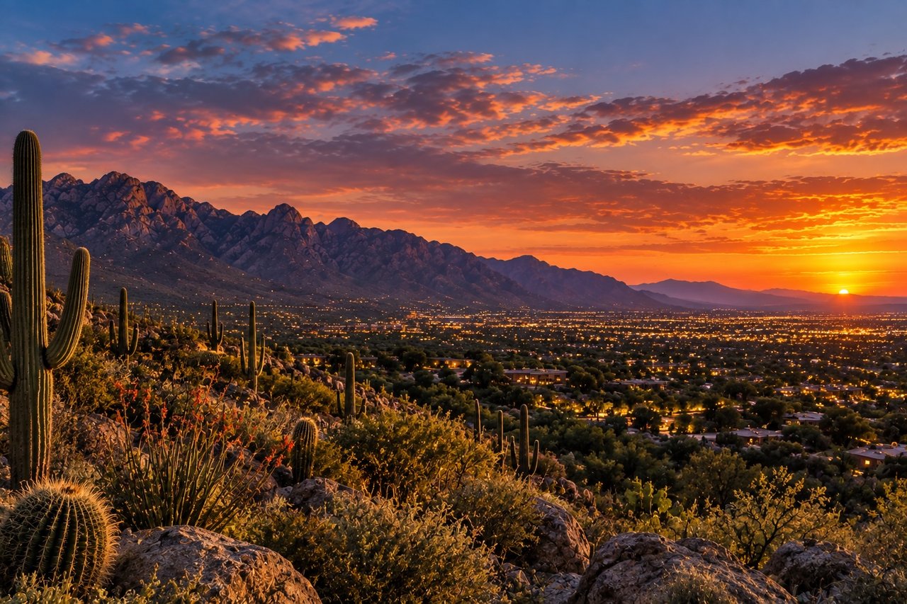
None of this changes what makes Finger Rock worth the drive. It is still one of the most recognizable silhouettes on the Catalina skyline, still visible from most of Tucson, still a trail that starts among saguaros and climbs through yucca, live oak, and juniper as it gains elevation. What changes is how a resident reads the next plume of smoke over the ridge. It is not always the dry season doing the damage. Sometimes it is the storm that was supposed to help.
The same two-clock pattern shows up elsewhere in the Catalinas. Ventana Canyon's own namesake trail runs on a similar split between a fixed seasonal closure and a weather-driven one, worth knowing if your routine takes you into both canyons.
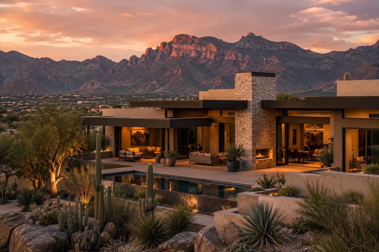
If you are curious how a specific street, trailhead, or view corridor shapes daily life in the Catalina Foothills, not just what a listing sheet says about it, Daniel Sotelo has spent years learning this mountain the way residents do. Let's connect whenever you want a conversation instead of a search result.